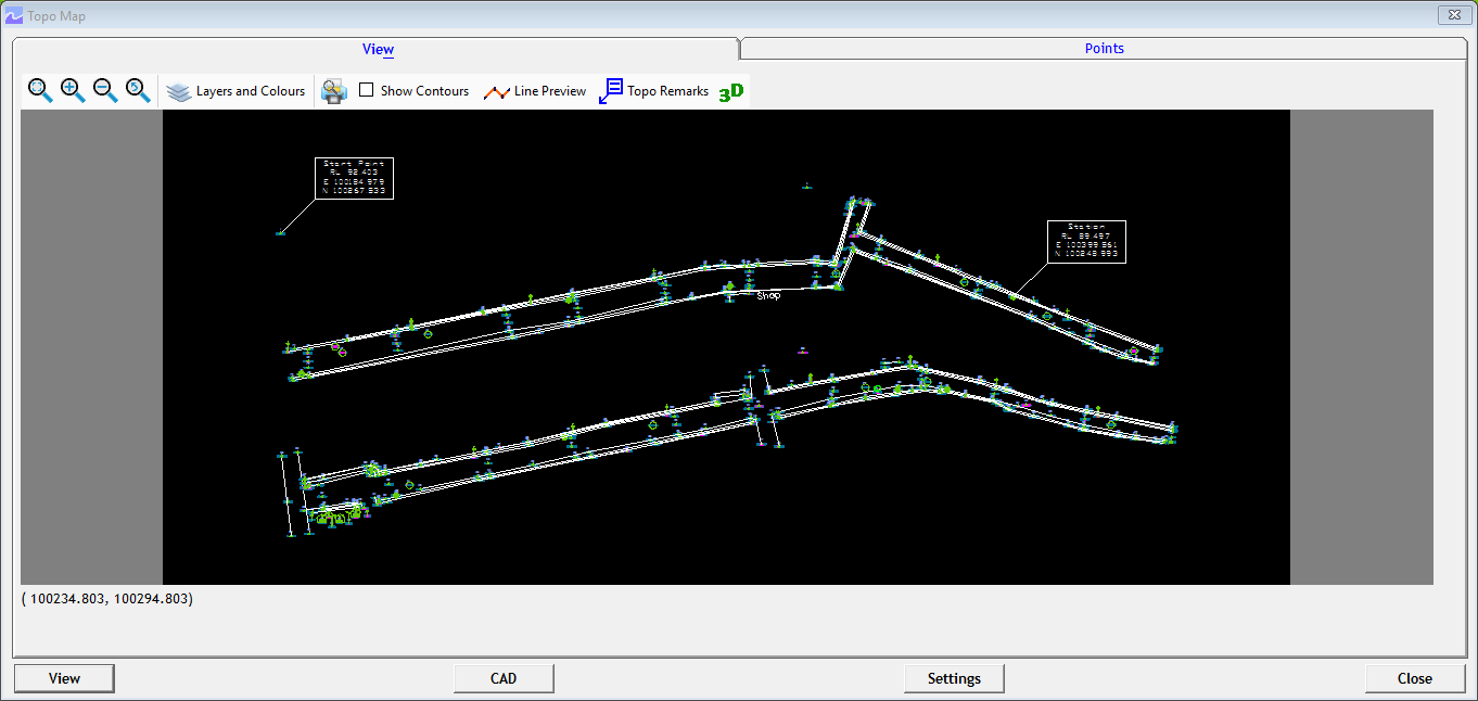
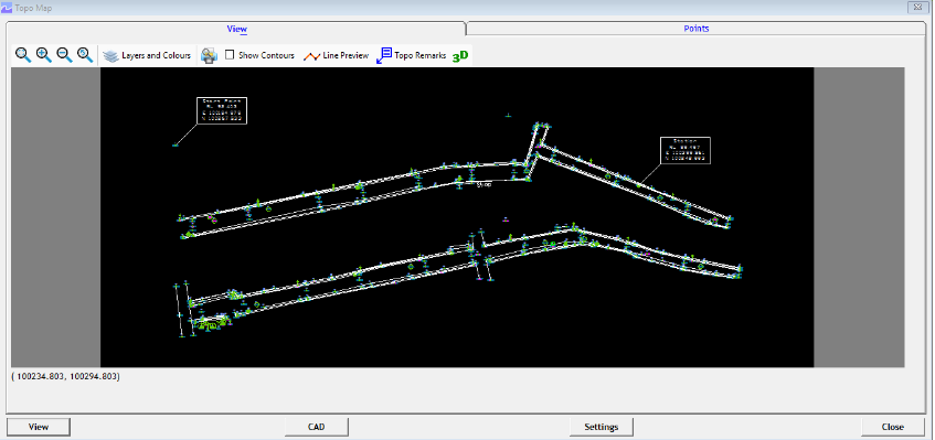
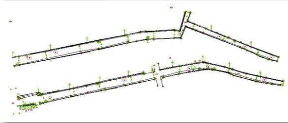
Topodraw generates topographical drawings from point data instantly with blocks and elevations in their respective northings and eastings from the data available in Excel or CSV.
Topodraw is explained in the following Topics
How to Convert Total Station Data(in Excel or CSV) as CAD Drawing
Layerisation and Block Insertion
Automatic Line Joining
Exporting Topomap with Attribute Block
How to Add Point Markers and Draw Manual Lines in Topomap
Creating 3D Topomap and Opening in Google Earth
ConHow to Create Topomap Directly within CAD Package
Most of the total station provides the facility to convert the survey data to drawing or a DXF file. Are those files easily editable? In addition to creating point data do they offer any additional features like automatic block insertion, an automatic line joining? If not, understanding Topodraw and its functionalities will help you.